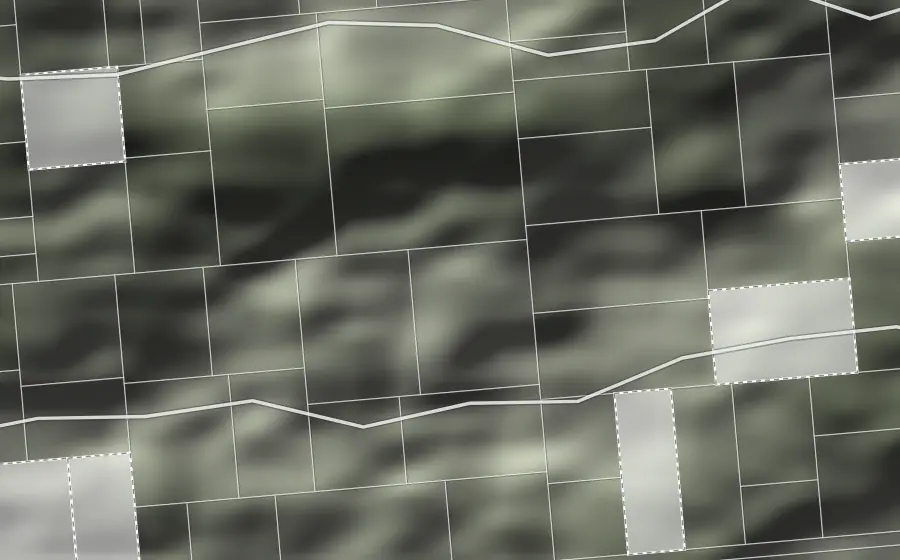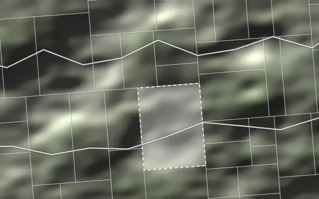
Cadastral map with parcel boundaries and terrain shading
geoportalPRO

PLEN

Order a report

GIS • Spatial data • Land analytics

Advanced technology for analysing land parcels and sites using spatial data.

Check the land
before you commit

Three modules
one technology

The full picture of a site before you decide. We gather data from cadastral, planning, utility, environmental and geological registers, then compile it for the site you specify.

Order a Land Parcel Report

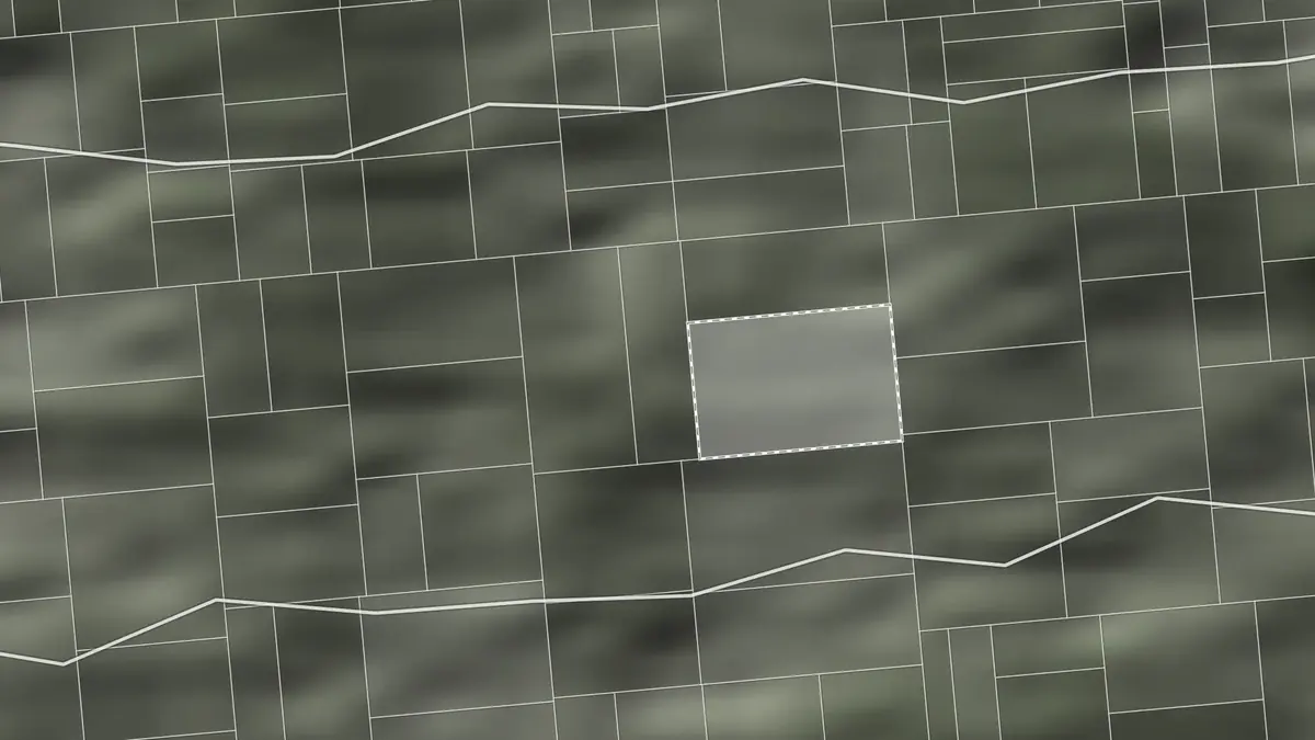
Parcel with boundaries and surroundings

01

Land Parcel Report

Check a specific parcel

A complete analysis of the parameters, constraints, infrastructure, terrain and surroundings of a given parcel.

Fixed price: PLN 99
See the sample report

Map showing land search results

02

Land Search

Find land that meets your criteria

We screen land across Poland against the parameters that matter for a specific type of project.

Priced individually
Commission a search

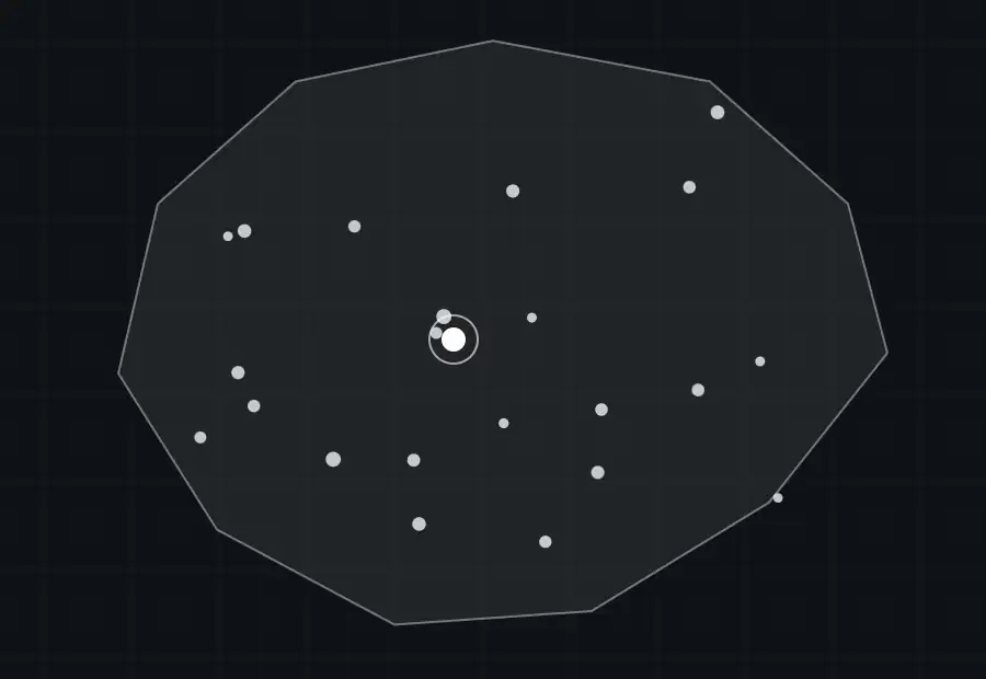
Nationwide map of comparable parcels

03

Site Potential Analysis

Site potential assessed against comparable land

We look at how parcels with parameters similar to yours have actually been developed.

Priced individually

Enquire about an analysis

0103

Find
your situation

Do you own a parcel, need to find one, or want to assess its potential? Choose the right scope of analysis.

01

Fixed price

Land Parcel Report

You have a specific parcel and want to check its parameters, constraints, infrastructure and development conditions.

  • “I am buying land”Before you buy, check development potential, the Local Spatial Development Plan (MPZP), road access, utilities, risks and site conditions.
  • “I am selling land”Put the key facts about the parcel into one report and use it in conversations with buyers.
  • “I advise a client”Check the parameters and constraints of a parcel quickly, before you recommend it.

A parcel number, an address or a point on the map is enough to order.

Order a Land Parcel Report

02

Individual quote

Land Search

You set the parameters and we search Poland for parcels that meet them.

  • “I am looking for a development site”Give us criteria such as area, slope, or distance to a road, the power grid or a main substation (GPZ). You receive a list of parcels that qualify.
  • “I am comparing several locations”We analyse the locations you name against the same criteria and compare their parameters side by side.

The price depends on the area, the number of criteria and the scope of analysis.

Commission a land search

03

Individual quote

Site Potential Analysis

You have a specific parcel. We find land with similar parameters and check how it has been developed.

  • “I own land and want to see the options”We find parcels with similar parameters and show what has been built on them and how they are used.
  • “I am assessing a site before purchase”We check how comparable parcels are used and which of those uses are relevant to the site in question.

An individual analysis based on the parcel you specify and its parameters.

Commission an analysis

Not sure which service you need? Describe the parcel or your objective. We will define the scope and provide a quote. Get in touch

Data analysed by
geoportalPRO

One parcel. Seven categories of data, analysed together. We combine planning, infrastructure, accessibility, terrain, risk, geology and surroundings data to build the full picture of a parcel.

Select a layerone parcel, seven layers

7

categories

20+

data layers

1

report

Layer 01 · Planning and development

Parcel readout

    One parcel, many layers of data. Only together do they show the full picture of the site.

    Shared process

    How we deliver every project

    Applies to all three services

    How the analysis works
    step by step

    From a parcel or a set of criteria to a finished analysis. You give us the parcel or the project requirements. We select the data, run the analysis and deliver the result within the agreed scope.

    01

    Name the parcel or set the requirements

    Give us a parcel number, an address, or describe the criteria the land has to meet. On that basis we agree the scope and confirm the price and timescale.

    • parcel number
    • address
    • point on the map
    • project criteria

    02

    We run the analysis

    We select the relevant data sources, combine them and run the spatial analysis within the agreed scope.

    Utility network layer

    03

    You receive the result

    You get a Land Parcel Report, a list of matching sites or a Site Potential Analysis, depending on the service.

    • Land Parcel Report01
    • List of matching sites02
    • Site Potential Analysis03

    Shared delivery processThe three services in detail below

    01Service

    Land Parcel Report

    Fixed price PLN 99

    Land Parcel Report
    step by step

    All the conditions affecting a single parcel, in one report.

    1. 01

      You name the parcel

      You give a parcel number, an address or a location. We verify what data is available and what the report can cover.

    2. 02

      We analyse the available data

      We combine cadastral, planning, utility, terrain, environmental and other data covering the parcel and its surroundings.

    3. 03

      You receive the finished report

      You get an organised report on the parcel, its parameters, constraints and surroundings.

    See a sample Land Parcel Report. Check the layout, the data covered and how results are presented, using an example parcel.

    Parcel data · Planning and development · Roads and infrastructure · Risks and constraints · Geology and ground · Surroundings

    Land Parcel Report price

    PLN 99

    Order a Land Parcel ReportSee the sample report

    Next service: Land SearchFind the parcels that meet your criteria

    02Service

    Land Search

    Priced individually

    Land Search
    step by step

    Land search driven by parameters, not listings. Every criterion narrows the set of sites. Use the panel below to see how it works.

    1. 01

      You set the requirements

      You define the search area and the parameters that matter: terrain, infrastructure, planning and constraints.

    2. 02

      We search the spatial data

      We apply every criterion in a single analysis and drop the parcels that do not qualify.

    3. 03

      You receive a list of parcels

      A list of qualifying sites with the parameters of each parcel and the points to verify before deciding.

    Examples of search parameters

    Area

    voivodeship, county, municipality, cadastral district · radius from a given point · corridor along a road or power line

    Geometry and terrain

    area · frontage width · compactness of shape · slope · aspect, e.g. south-facing · elevation m a.s.l.

    Infrastructure

    distance to a surfaced road · to MV and HV lines · to a main substation (GPZ) · to gas, water and sewer mains

    Planning

    designation in the local plan (MPZP) · direction in the municipal general plan · development ratio and height · areas without a plan

    Constraints and risks

    Q1% and Q10% flood zones · landslides · nature conservation designations · archaeological zones · overhead lines · soil class

    Surroundings

    distance to housing, forest and watercourses · proximity of nuisance uses · access to a national road

    We also take on bespoke criteria, provided they can be expressed in the available spatial data.

    Commission a land search

    Next service: Site Potential AnalysisSee what others have built on land like yours

    03Service

    Site Potential Analysis

    Priced individually

    Site Potential Analysis
    step by step

    We compare your parcel with similar land and check how it has been developed. First we profile the parcel, then we search for land with comparable parameters and analyse what has actually been built there and how it is used.

    1. 01

      The parcel in question

      We identify the site, its boundaries and its basic cadastral data.

    2. 02

      Parameters of the parcel and its surroundings

      We establish the features that drive the comparison: geometry, terrain, access to infrastructure, planning, constraints and surroundings.

    3. 03

      We search for similar parcels

      We find land across Poland with parameters as close as possible to the parcel in question.

    4. 04

      We check what stands on similar parcels

      We analyse how comparable sites have actually been developed: what structures, buildings and uses are present.

    5. 05

      Conclusions for your parcel

      We show which types of development occur on similar land and which are worth considering for your parcel, given its constraints and strengths.

    Example parameters used for comparison

    • Area
    • Slope
    • Road access
    • Proximity to the power grid

    We use these and other features to find land with a similar profile.

    Commission an analysis

    End of service 03 · Site Potential AnalysisThree services, one technology

    Typical applications

    Every type of project calls for a different set of site parameters. geoportalPRO analyses and searches land against the criteria that matter for a specific end use.

    Map extract: plot for a house

    Plot for a house

    MPZP and development potential · road access · utilities · landform · risks · ground conditions
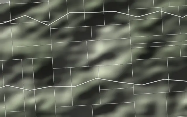
    Map extract: land for solar PV

    Land for solar PV

    area · aspect · slope · distance to the grid and to a substation · road access · constraints
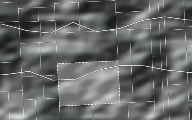
    Map extract: land for energy storage

    Land for energy storage

    distance to a substation and the grid · area · road access · planning · technical constraints
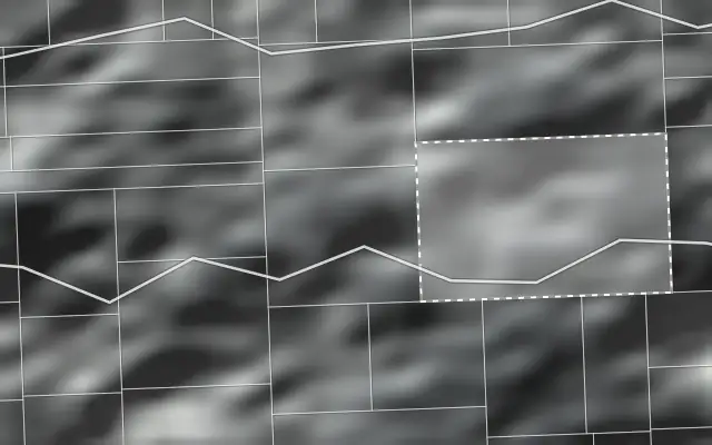
    Map extract: land for logistics

    Land for logistics

    area · shape · access to main roads · infrastructure · landform · planning

    Map extract: land for industrial development

    Land for industrial development

    MPZP · area · infrastructure · roads · surroundings · environmental constraints · geology
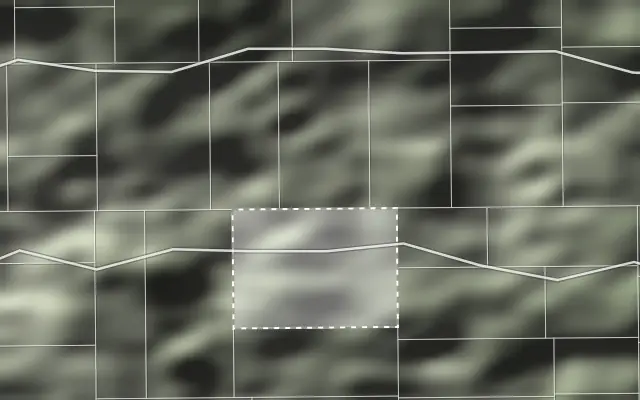
    Map extract: potential of land already owned

    Potential of land you already own

    parcel parameters · planning · infrastructure · surroundings · comparable sites · how they were developed

    A different type of project? We can tailor the criteria to your objective. Get in touch

    Data sources

    Many data sources. One consistent result. We combine data from independent registers and systems, standardise it and analyse it spatially to produce a result for a specific parcel or project goal.

    01

    Data from many sources

    We bring together information from independent registers and databases.

    • Survey and cadastre
    • Spatial planning
    • Infrastructure
    • Environment
    • Geology
    • Local data

    02

    We standardise the data

    We reconcile formats, geometry, coordinate systems and naming so that data from different sources can be analysed together.

    03

    We analyse spatial relationships

    We measure distances, intersections, adjacency, landform and other relationships between the parcel and its surroundings.

    GIS analysis

    • distances
    • buffers
    • intersections
    • terrain
    • adjacency

    04

    You receive the finished result

    Depending on your objective, you receive a Land Parcel Report, a list of qualifying sites or a Site Potential Analysis.

    Frequently asked
    questions

    What is a geoportalPRO Land Parcel Report?
    A geoportalPRO Land Parcel Report brings the key data on a chosen parcel or site together in one document. It can cover cadastral data, the municipal general plan, the local spatial development plan (MPZP), utility infrastructure, road access, landform, hazards and constraints, and other information that matters when assessing a property.
    How do I check a parcel before buying it?
    Send us a parcel number, an address or a location and we will prepare a Land Parcel Report. Before a purchase it is worth checking the cadastral data, the planning status, development potential, access to utilities and roads, and any hazards or constraints affecting the property.
    What can geoportalPRO tell me about a parcel?
    The data available depends on the location and on the source registers. A report can cover the Land and Building Register (EGiB), the municipal general plan, the local spatial development plan (MPZP), utility infrastructure, landform, soil classes, flood risk, landslides, power lines and other conditions affecting the parcel and its surroundings.
    How do I identify the parcel to be analysed?
    A parcel number with its cadastral district, an address or a description of the location is enough. On that basis we identify the site, confirm the scope and prepare the report.
    Does the report cover the general plan, the MPZP and the planning status?
    Yes. Subject to data availability for the location, the report covers the municipal general plan and any local spatial development plans (MPZP) in force. That gives a clearer view of the planning status and of the conditions that may shape how the parcel can be developed.
    Does the report cover utility infrastructure and access to services?
    Yes, where the relevant data exists for the location. The report can describe the utility networks on or near the parcel, including electricity, water, sewerage, gas and telecommunications.
    Does the report cover hazards and constraints?
    Yes. The analysis can cover flood-risk areas, landslides, power lines, protected areas, heritage assets and other spatial or environmental conditions. How much detail is available depends on the data for the site in question.
    Is a Land Parcel Report enough to decide on a purchase?
    A geoportalPRO report gives you a broad initial assessment of a parcel and flags potential constraints and risks. It does not replace official documents, geotechnical investigation, a formal property valuation report, legal analysis or the specialist opinions a given project may require.
    How much does a Land Parcel Report cost?
    A geoportalPRO Land Parcel Report has a fixed price of PLN 99. That covers the analysis of the available data for the parcel within the defined report scope. Land Search and Site Potential Analysis are priced individually, according to the scope of the assignment.
    How do I order a Land Parcel Report?
    Send us a parcel number, an address or any details that identify the site unambiguously. Once the location is confirmed, we prepare the report in the agreed scope.
    Can I check a parcel if I do not know its number?
    Yes. If you do not have the parcel number, give us the address or point out the location. That is enough for us to identify the site and prepare the analysis.
    Can geoportalPRO find parcels that meet specific criteria?
    Yes. We can search any chosen area of Poland against parameters such as area, slope, aspect, distance to a road, to the power grid, to a main substation (GPZ) or to utilities, as well as specific planning conditions.
    Which criteria can be used in a land search?
    That depends on the objective and on the data available. We can work with location, area, shape, slope, aspect, road access, distance to utility infrastructure, to a main substation or to the power grid, along with planning and environmental conditions and any other parameter that can be expressed spatially.
    What do I receive from a land search?
    You receive a list of parcels that meet the agreed criteria, with their locations and key parameters. Selected sites can then go into a detailed Land Parcel Report or a Site Potential Analysis.
    What does a Site Potential Analysis involve?
    We start by profiling the parcel, then search for land with similar characteristics. We check how comparable parcels have actually been developed, what stands on them and how they are used, and which of those uses are relevant to the site in question.
    How does geoportalPRO find comparable parcels?
    We compare the features that matter for the analysis: area, geometry, landform, access to infrastructure, planning status, location and other parameters. That gives us parcels with the closest possible profile, and we then examine how they are used.
    What do I receive from a Site Potential Analysis?
    The analysis can include a set of parcels with comparable parameters, information on how they are currently developed and used, and conclusions on the directions worth considering for your site. The scope is agreed case by case.
    Where does geoportalPRO get its data?
    Our analyses draw on a range of public and official sources: survey and cadastral data, spatial planning, infrastructure, environment, geology and local records. Which sources apply depends on the scope of the analysis and on where the parcel is.
    Is every dataset available for every parcel?
    No. Coverage depends on the location, on how complete each register is and on what is published for the area. We verify what is available before preparing the analysis.
    Does the report also cover the area around the parcel?
    Yes. Depending on the scope, the analysis covers not only the parcel itself but also its surroundings: infrastructure, networks, buildings, roads, hazards and other features within a defined distance of the site.

    Question not answered here? Describe the parcel or what you need to find out. Get in touch

    Start with a parcel or with a project brief

    Not sure which analysis you need? Describe the situation. We will define the scope and quote it.

    Route A

    I have a specific parcel

    A parcel number or an address is enough to start.

    Order a report

    Route B

    I need land that fits my brief

    Describe the criteria. We will search land across Poland.

    Commission a search

    Contact form

    Tell us what you need

    We reply to the address you give in the form. You can also write or call us directly.

    We use the details you provide to handle your enquiry, check whether we can deliver the service and prepare a scope and a quote. Information on the data controller, the legal basis for processing and your rights is set out in the Privacy and Cookies Policy (PDF, Polish).